
Yeah, that's what I meant (I thinkraulduke wrote:one minor correction Norman
Heaslip Road was to be an underpass in the reference design, but the actual design is Heaslip Road over NEXY now.
COM: Northern Expressway | 22km
Re: #U/C: Northern Expressway | 22km
-
skyliner

- Super Size Scraper Poster!
- Posts: 2359
- Joined: Tue Oct 24, 2006 9:16 pm
- Location: fassifern (near Brisbane)
Re: #U/C: Northern Expressway | 22km
Whatever happened to the grass and trees that were there? These photos are not that close to the foreshore dunes are they?
Good to see the road progressing. Should not be near as expensive or subject to bottlenecks as a similar distance in B'bane where you get so many bends, flyovers, subways, tolls and even spaghetti thrown in. Getting it all done early is the way to go IMO.
ADELAIDE - CITY ON THE MOVE
Good to see the road progressing. Should not be near as expensive or subject to bottlenecks as a similar distance in B'bane where you get so many bends, flyovers, subways, tolls and even spaghetti thrown in. Getting it all done early is the way to go IMO.
ADELAIDE - CITY ON THE MOVE
Jack.

Re: #U/C: Northern Expressway | 22km
What?skyliner wrote: These photos are not that close to the foreshore dunes are they?
Re: #U/C: Northern Expressway | 22km
not that close, only about 20 km as the crow flies i would say!
-
skyliner
- Super Size Scraper Poster!
- Posts: 2359
- Joined: Tue Oct 24, 2006 9:16 pm
- Location: fassifern (near Brisbane)
Re: #U/C: Northern Expressway | 22km
Cruise I wrote this because I remember the area around the salt pans (not far from the dunes) and a good disatance towards the north as looking like this - but 22 years ago when I last saw it. I did not cross check first with route maps for a more accurate understanding - my bad! (Hence your response).Cruise wrote:What?skyliner wrote: These photos are not that close to the foreshore dunes are they?
Thankyou also Raulduke for your info.
ADELAIDE - CITY ON THE MOVE
Jack.
Re: #U/C: Northern Expressway | 22km
No worries, what i said was a bit of a knee jerk response tbh. For someone who doesnt live far from this project i'm sure you can understand it sounded funny to me.skyliner wrote:Cruise I wrote this because I remember the area around the salt pans (not far from the dunes) and a good disatance towards the north as looking like this - but 22 years ago when I last saw it. I did not cross check first with route maps for a more accurate understanding - my bad! (Hence your response).Cruise wrote:What?skyliner wrote: These photos are not that close to the foreshore dunes are they?
Thankyou also Raulduke for your info.
ADELAIDE - CITY ON THE MOVE

Re: #U/C: Northern Expressway | 22km
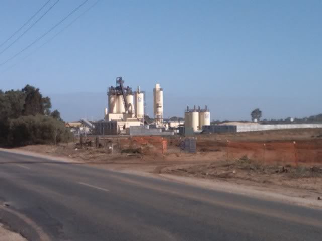
From today...
Heaslip Rd overpass
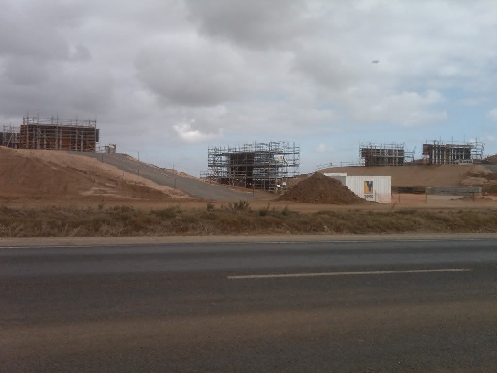
Curtis Rd overpass
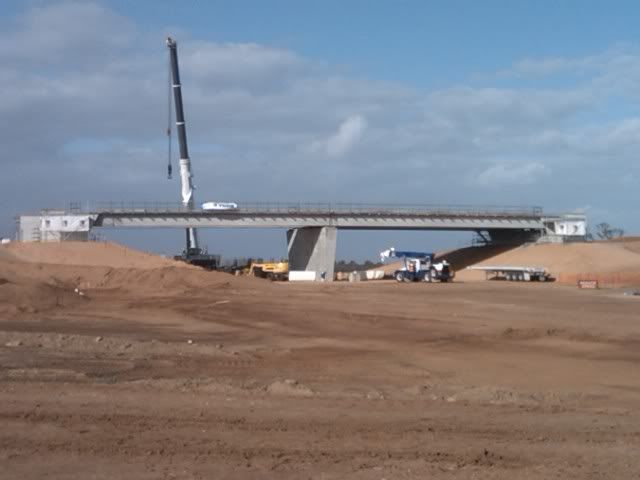
Angle Vale Rd overpass
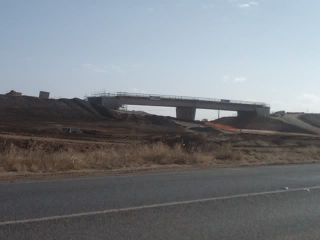
Ashphalt plant
Heaslip Rd overpass
Curtis Rd overpass
Angle Vale Rd overpass
Ashphalt plant


-
peas_and_corn
- Legendary Member!
- Posts: 522
- Joined: Thu Oct 30, 2008 9:32 pm
Re: #U/C: Northern Expressway | 22km
Are there any maps that show where this expressway is going to be, where it goes, what it connects to? If I drove south down the northern expressway will I eventually reach the southern expressway, or does it conect to different roads? Where is it in relation to existing highways/expressways/freeways?
If anyone has some maps/visual aids to show me these things that would be really awesome, since I'm not really sure right now where this thing is.
If anyone has some maps/visual aids to show me these things that would be really awesome, since I'm not really sure right now where this thing is.
-
peas_and_corn
- Legendary Member!
- Posts: 522
- Joined: Thu Oct 30, 2008 9:32 pm

Re: #U/C: Northern Expressway | 22km
<shameless self promotion>
http://buildinglist.photoadelaide.com/M ... ?maploc=77
</shameless self promotion>
http://buildinglist.photoadelaide.com/M ... ?maploc=77
</shameless self promotion>

Re: #U/C: Northern Expressway | 22km
excuse my ignorance, but at what point will i be able to access this expressway if i am heading north on port wakefield rd?
Opportunity is missed by most people because it is dressed in overalls and looks like work.
Re: #U/C: Northern Expressway | 22km
In between Waterloo Corner road intersection and Taylors road intersectionWayno wrote:excuse my ignorance, but at what point will i be able to access this expressway if i am heading north on port wakefield rd?
Who is online
Users browsing this forum: Ahrefs [Bot], Google [Bot] and 2 guests